


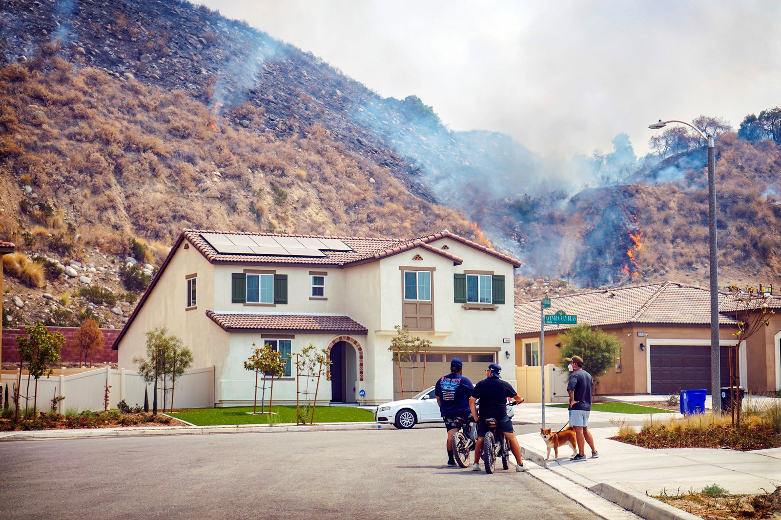
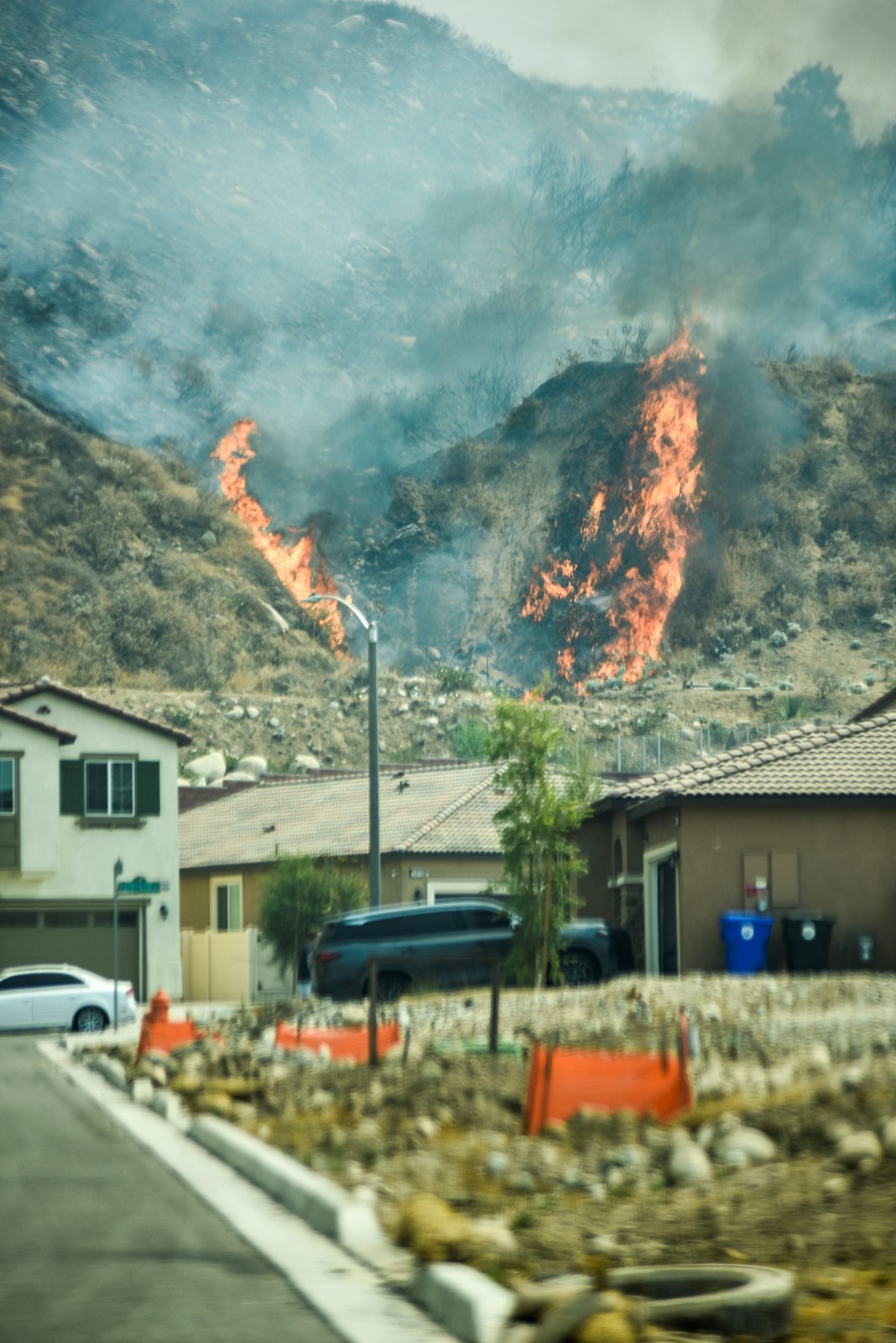


Evacuations were ordered for the Line fire raging near Highland that exploded to 7,122 acres as of Saturday afternoon with zero containment.
“Steep terrain and lack of access impact crews’ ability to access some areas of the fires,” Cal Fire announced.
Evacuation orders for homes and structures in Highland and Running Springs, along with major road closures, went out throughout the day on Saturday.
They included:
Homes from Calle Del Rio east to Highway 38 and Greenspot Road north to the foothills.
All undeveloped land east of Highway 330 to Summertrail Place and north of Highland Avenue.
The closure of Highway 330 in both directions between Base Line Street and the 210 Freeway in Highland and Highway 18 in Running Springs.
The communities of Running Springs and Arrow Bear Lake along with areas east of Highway 330 and south of Highway 18.
Homes east of Orchard Road to Cloverhill from Highland Avenue north to the foothills.
An evacuation center was established at Immanuel Baptist Church at 28355 Base Line St., Highland.
Also on Saturday, the San Bernardino National Forest issued a warning to aerial lookie-loos on X.
“Drones pose a serious risk to firefighting and can cause air operations to cease,” it stated.
“When drones interfere with firefighting efforts, a wildfire has the potential to grow larger and cause more damage,” the Tweet read.
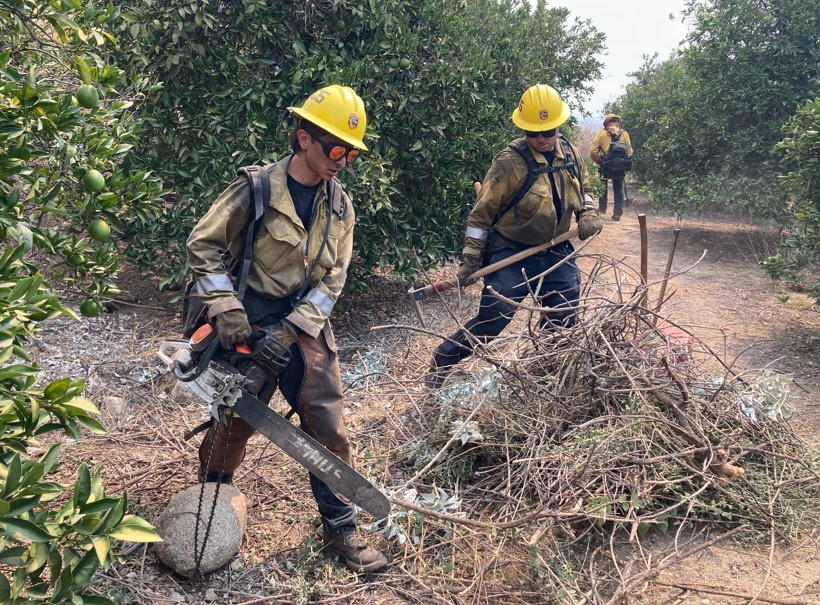
Some 500 firefighting personnel have been assigned to the blaze, the Forest Service announced.
The fire was first reported around 6 p.m. Thursday, Sept. 5, near Baseline and Aplin streets and later spread to the San Bernardino National Forest, authorities said.
Containment is the percentage of the fire’s perimeter that officials say the flames will not go beyond, because of natural boundaries or firefighters’ progress.
Previously, evacuation warnings had been issued for neighborhoods east of Church Street, north of Highland Avenue and neighborhoods east of Weaver Street and north of Greenspot Road to the Iron Bridge.
 PREVIOUS ARTICLE

