When California joined the United States in 1850, most of the country existed east of the Mississippi River. California, an “island on the land,” was way off on the far west coast and needed a connection to the rest of the country. The U.S. government ordered a survey to be conducted to find the best route for a railroad from east to west.
Three main survey parties set out — one looking for a northern route, one a central route and the last a southern route. The southern route came through our area and ultimately became the best all-around prospect for a transcontinental railroad.
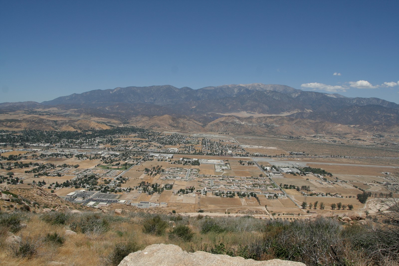
Army Lt. R.S. Williamson led portions of the southern survey, aided by Lt. John Parke. It was Parke and his team who traversed the San Gorgonio Pass and Coachella Valley, reporting favorably on the prospect of using the pass for a rail line.
Throughout November and December 1853, Parke traveled through the San Gorgonio Pass and Coachella Valley area, noting topography, some plant life, potential mineral resources and encounters with Indigenous populations.
In his report, Parke indicated, “The high mountain of San Bernardino is the highest in the Coast range. … Southeast of this mountain is the peak of San Gorgonio. These two mountains, whose peaks are 30 miles apart, approach each other at their base, and the open pass between is known as the pass of San Gorgonio, and … it doubtless received its present name from that of the rancho, the land in the pass being styled in the Spanish grant the ‘Rancho de San Gorgonio.’ ” He was actually discussing Mount San Gorgonio when he mentioned “the high mountain of San Bernardino,” and was talking about Mount San Jacinto when he mentioned “the peak of San Gorgonio.”
Parke went on to describe the grade of the pass from the Mormon settlement of San Bernardino all the way through the Coachella Valley. At the end, he concluded, “This pass is so uniform and open that it may be considered the best pass in the Coast range.”
By the time Parke and Williamson’s surveys were compiled and analyzed in Washington, many came to the conclusion that the southern route espoused by the two men was truly the best all-weather route for a railroad. There was one problem, though — this was in the late 1850s, and America stood on the brink of civil war. Congress would not fund a railroad that would go through the South, so the central route was chosen, which is why the transcontinental railroad ultimately went to Northern California.
However, one other railroad company saw the benefit of the southern route, and that was the Southern Pacific, which, after the Civil War, built a second transcontinental line. The line continues today as a vital link between California and the eastern states.
If you have an idea for a future Back in the Day column about a local historic person, place or event, contact Steve Lech and Kim Jarrell Johnson at backinthedaype@gmail.com.
