A successive slashing of rain and wind is set for the Bay Area until Wednesday, with fierce snow in the Sierra Nevada expected to reach blizzard-like conditions, prompting officials to issue stark warnings to those hoping for a snow-filled escape this week.
The system is the tail end of a bout of cold air coming down from western Canada, meteorologists said, which pummeled portions of Northern California this past week with record-breaking snowfall.
The incoming Bay Area system will bring up to a quarter inch of rain on Sunday into the evening, with an uptick in winds. The stronger system will come Monday, with heavy rainfall starting in the North Bay around 7 a.m. and moving south to the Peninsula around 10 a.m. — with up to an inch of water expected to drop throughout the region into the afternoon. Gusts are expected to reach between 25 and 35 miles per hour and there’s a chance of thunderstorms.
“It could be a pretty messy Monday morning commute with some water on the roadways and some localized flooding,” said Jeff Lorber, a National Weather Service meteorologist.
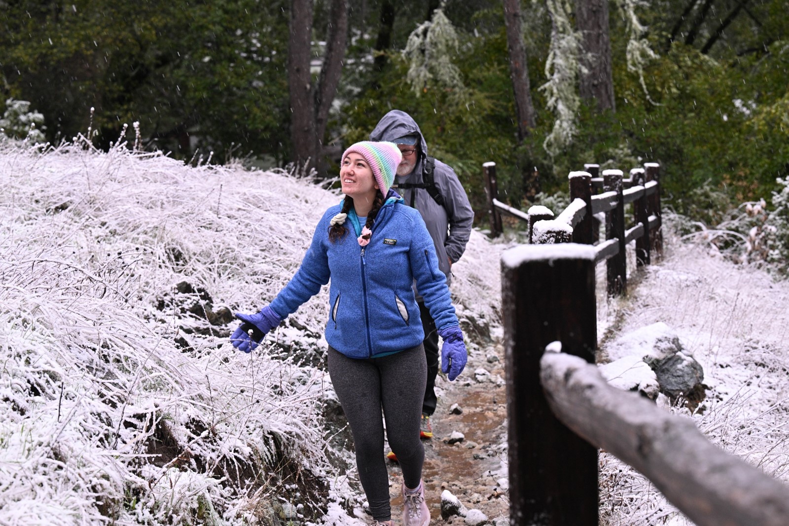
The storm will become milder Tuesday as rainfall drops to about a quarter of an inch throughout the region, Lorber said. Temperatures over the next few days are expected to be in the low 50s — and high 40s in some of the Bay Area’s mountainous regions. A sprinkling of a few inches of snow is expected on Mt. Hamilton, the Santa Cruz Mountains and portions of eastern Santa Clara County.
By Thursday, conditions will improve and temperatures will jump back up to the mid-to-upper 50s.
But to the east, the incoming storm system is expected to wallop the Sierra Nevada with up to seven feet of snow.
“Don’t go to the mountains,” said Johnnie Powell, a weather service meteorologist. “It’s going to be stronger than a normal winter storm.”
The agency issued its first blizzard warning in more than two years for the northern Sierra Nevada, with forecasts calling for three to seven feet of snow for areas above 3,000 feet from about 4 a.m. Monday through early Wednesday morning.
About one to three feet of snow is forecast to fall in areas from 2,000 to 3,000 feet in elevation, while the northern Sacramento Valley could receive one to five inches of snow.
Visibility should be exceptionally poor throughout the area. Winds are forecast to reach 50 mph in most places and 70 mph along the Sierras’ ridgetops.
While the forecast may prove tempting for skiers seeking another round of fresh powder, Powell urged anyone thinking of traveling to the high country to hold off until later in the week due to dangerous — possibly impassable — travel conditions.
“Even your normal ski people who like to go up there, they should wait until it’s over,” he said.
The snow deluge is expected to impact travel for hopeful skiers. A Caltrans spokesperson said Sunday that it is “definitely possible” that Interstate 80 and Highway 50 could be closed because of the impending storm. On Sunday, the two roads had chain controls in place — and live cameras showed thick snow already falling on I-80, leaving thin strips of asphalt as cars chugged along the mountain road.
Caltrans spokesperson Steve Nelson said that if travel is absolutely necessary, solid preparation is necessary.
“Have extra clothing. Have extra food,” Nelson said. “You might be held in traffic for six to eight hours. We never want that to happen. But that is the worst-case scenario. If you have no familiarity with driving in snow, postpone your trip.”
The coming storm follows a more brutal tempest that dumped nearly a foot of snow in the Bay Area’s higher elevations, closing roads and felling trees this past week. The system was described by meteorologists as the most snowfall to hit the region since February 2011 and was still impacting local Bay Area roads as of Sunday afternoon.
The closed roads in the Santa Cruz Mountains include Highway 9 from Watermans Gap Junction to Route 35 and Roboma Drive to Stapp Road, Route 236 from Governors Camp to Waterman Gap Road. Closures in Santa Clara County include all lanes of Highway 130 between Quimby Road and Lick Observatory, as well as portions of Highway 130 between Vineyard Heights and to the west of the Edwards Loop Trailhead. Roads in Napa County include Route 29 from Tubbs Lane to the Lake County Line.
