More than 7,600 acres of Colorado’s Western Slope have been burned by four lightning-sparked wildfires, according to fire officials.
Gov. Jared Polis issued a disaster declaration Sunday for the ongoing wildfires, as well as another large fire burning on the edge of Utah that could spread into Colorado.
The four currently burning in western Colorado were all sparked by lightning during the same Thursday storm and have continued to grow, Polis said in the disaster declaration.State resources will join hundreds of firefighters already on the ground in three western Colorado counties to fight the wildfires.
South Rim fire in Montrose County
Heavy winds that swept through Black Canyon of the Gunnison National Park on Sunday night started “rapid fire spread” after a relatively slow day of growth, according to fire officials.
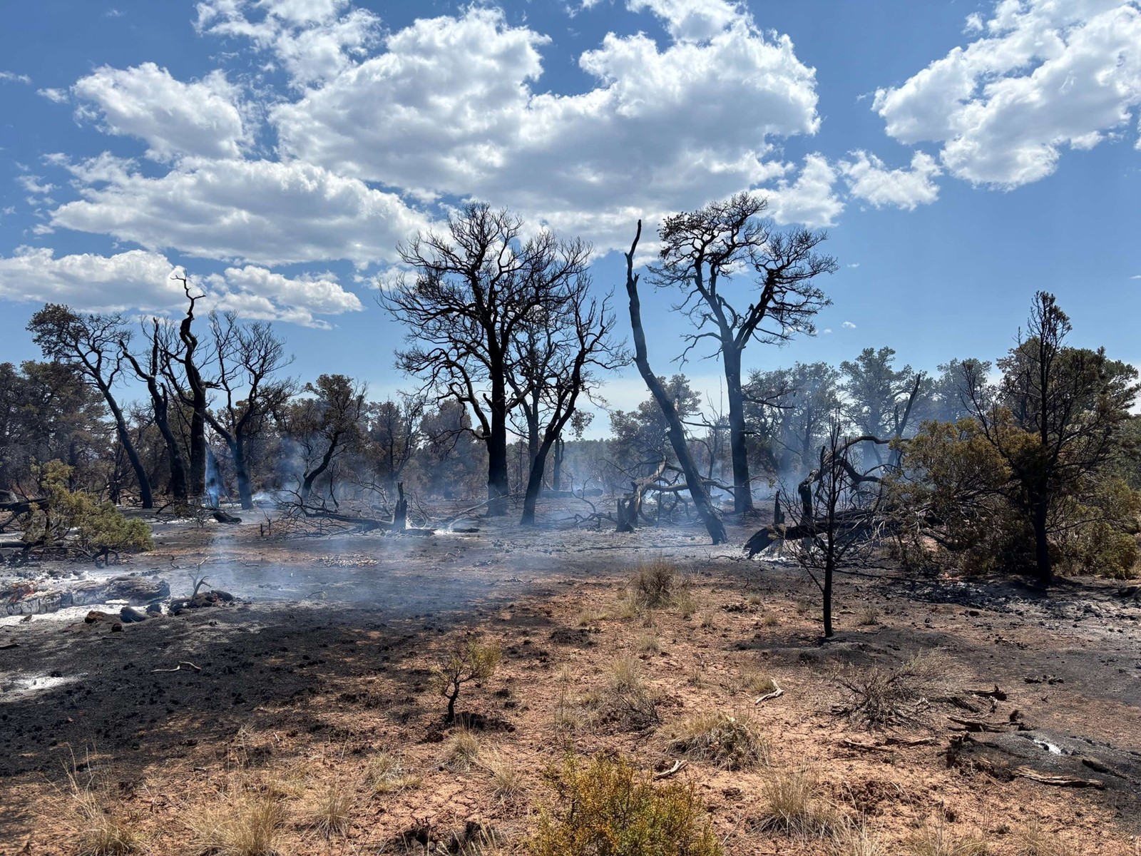
The South Rim fire reached 3,633 acres Sunday night, a jump of only 77 acres from Saturday’s estimate of 3,556 acres, Incident Commander Nate Christiansen said in a video briefing.
That was mapped before the winds picked up, and it’s unknown how much the fire grew during the “rapid fire spread.”
“By early evening, a thunderstorm with gusty winds passed over the fire, causing it to become extremely active and unpredictable,” fire officials wrote in a Monday update. “Heavy smoke limited visibility … There was significant growth to the west.”
Christiansen said the fire was “waking up” along the burn area’s southern edge and progressing toward Bostwick Park, a Montrose County community that remains under mandatory evacuation orders.
“Tough conditions these firefighters (are) up against: Drought (and) above average temperatures really have dried up these fuels. We’re seeing some pretty good fire behavior,” Nick Ostrom, a fire behavior analyst, said in a video update posted Monday afternoon. The South Rim entrance to Black Canyon of the Gunnison National Park is about 15 miles east of Montrose.
The South Rim fire evacuation zone is bordered to the west by Lateral Ditch Road, the north by Black Canyon, the south by U.S. 50 and the east by East Portal, according to a federal evacuation map. That includes M73, N73, N74 and O74 roads. As of Monday afternoon, more than 300 fire personnel, two aircraft and two dozers were battling the flames. The fire had no containment.
Blue Mesa Reservoir west of the Middle Bridge is closed to all boating activities so aircraft can safely pick up water to dump on the fire, according to Curecanti National Recreation Area officials.
