


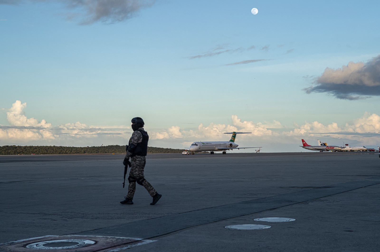


An escalating standoff between the United States and Venezuela has led both countries’ militaries to jam satellite navigation signals in the Caribbean to guard against a potential attack, data shows, putting air and sea traffic in the region at greater risk of a collision or accident.
At least some of the U.S. warships that have deployed to the Caribbean in recent months have been jamming GPS signals in their vicinity, according to an analysis of data provided by Stanford University and a U.S. official who spoke on the condition of anonymity to discuss operational matters.
The Donald Trump administration says the warships, which include the Navy’s most modern aircraft carrier, the USS Gerald R. Ford, are targeting drug trafficking to the United States orchestrated by the Venezuelan government.
In response to U.S. military pressure, the armed forces of President Nicolás Maduro of Venezuela have jammed GPS signals around the country’s critical infrastructure, including military bases, oil refineries and power plants, according to an analysis by Spire Global, a satellite data company.
Signals experts said both militaries appeared to be trying to protect assets against attacks by drones and precision munitions, which can be guided by GPS or similar positioning systems.
“It is defensive in nature,” said Logan Scott, a radio frequency expert who helped build the world’s first digital GPS receivers in the 1980s, referring to the sources of jamming shown in the data. “You’ve got a military emplacement and you want to keep drones, and whatnot, from getting to it.”
The similar tactics employed by the two adversaries, he added, are amplifying the range and intensity of the jamming. “The only difference is which side of the line you’re on,” Scott said.
These military tactics have come at the cost of disrupting civilian transport that relies on GPS.
The prolonged spike in GPS interference in the Caribbean is one of the starkest examples of the regional effect of President Donald Trump’s pressure campaign against Maduro.
That conflict, which Trump has justified by turns as a war on drugs and a quest for Venezuelan oil, is degrading crucial communication technologies that guide devices, including cellphones and ship navigation systems. The region’s militarization is starting to affect civilian life in ways that have become commonplace in war zones such as Russia, Ukraine and parts of the Middle East.
“Whether jamming is due to the U.S. or Venezuelan forces, it really doesn’t matter: You don’t want an aircraft going in there,” said Gen. Willie Shelton, the former head of the U.S. Air Force’s Space Command.
In response to questions, U.S. Southern Command, the military branch overseeing the Caribbean deployment, said through a spokesperson that “we do not comment on speculative reporting or unverified premises.”
“Our U.S. naval forces continue to conduct operations in international waters following international law, focusing on counternarcotics efforts with regional partners,” the spokesperson added.
Venezuela’s government did not respond to a request for comment sent to the country’s Communications Ministry.
The spread of GPS and other satellite navigation systems into practically every corner of the global economy has made the positioning technology increasingly vulnerable to manipulation by governments, criminal groups and individuals seeking to hide sensitive locations and confuse opponents.
The most common type of GPS interference is created by devices called jammers, which essentially broadcast noise that drowns out the signal and makes it difficult to calculate position and time.
Jammers range from hand-held devices to complex systems located on aircraft and warships. Their sophistication and availability have increased drastically since the start of the war in Ukraine, where both sides extensively interfere with satellite signals to defend themselves against drones and missiles.
The increase of GPS jamming in Venezuela was initially reported by Bloomberg News.
At least 1 in 5 flights in the Caribbean has experienced problems with GPS navigation since early September, according to data provided by Stanford’s GPS Lab.
One airplane, a JetBlue flight to New York from Curaçao, reported a near collision with a U.S. military plane soon after takeoff Dec. 12. The JetBlue pilot told air traffic control that the military plane had not been reporting its position while in their flight path.
Although that hazard does not appear to have been caused directly by GPS jamming, it has highlighted the spillover effects of the largest U.S. military deployment in the Caribbean since the Cuban missile crisis.
The Federal Aviation Administration on Nov. 18 issued a warning to pilots flying to and from San Juan, Puerto Rico, “due to an increase in state aircraft operations.”
 PREVIOUS ARTICLE

