




Marin transportation officials are eying new strategies to close the gaps in the 30-mile path known as the North-South Greenway.
This summer, the Transportation Authority of Marin, the county’s traffic management agency, completed its first comprehensive analysis and progress report of the path. The report mapped out the gaps and is meant to provide a baseline for new projects.
For decades, proponents have envisioned a continuous path running along the Northwestern Pacific Railroad right of way from the Golden Gate Bridge to the Marin County-Sonoma County border.
Warren Wells, planning and policy director for the Marin County Bicycle Coalition, said the goal is to have a path with a similar level of quality to Highway 101 that is uninterrupted and has a uniform set of standards.
“We need to have a bike highway in Marin where people can get on, get off close to their destination,” Wells said, “and the experience on that bike highway is one that is comfortable, separate from traffic and one you would be happy to ride with your kid in the trailer and works for people from ages 8 to 80, or even older.”
About 18 miles have been built in various forms, from on-street bike lanes to fully separated paths, according to the new analysis. A patchwork of planned path segments totaling 11 miles throughout the county remains incomplete, with some sections presenting more significant challenges.
“While it wasn’t part of this effort, a follow-up to this report could be a prioritization or ranking of gaps,” Scott McDonald, a Transportation Authority of Marin planner, told the agency’s board last month.
The North-South Greenway has been built slowly through the years by an alphabet soup of Marin agencies. However, the greenway has been more of a concept and has never been formally recognized by the agencies as a single, unified project with a set alignment.
In its review of the analysis in June, the Transportation Authority of Marin board spent much of the time discussing whether it is time to begin this process. Marin County Supervisor Katie Rice, who is on the board, said doing so could make the county more competitive for grant funding by grouping projects under one umbrella as opposed to cities applying separately for their individual segments.
“If you say you’re filling a gap that actually has been bought into by multiple jurisdictions, I think it’s important,” Rice said during the meeting. “And I think conceptually, socially and psychologically, to actually embrace these as corridors that we buy into together has value.”
While planning is underway for several of the incomplete segments, particularly between San Rafael and Novato along the Sonoma-Marin Area Rail Transit corridor, some segments present significant challenges.
“There are certainly some areas, geographic areas where there would need to be some further planning to come to some agreement on what is kind of the official corridor,” Anne Richman, executive director of the Transportation Authority of Marin, told the board.
Marin County Supervisor Stephanie Moulton-Peters, who is on the board, said that while the path has been planned along the Northwestern Pacific Railroad corridor, the changes in land use might require new ideas.
“Where it ends up literally may change somewhat based on the current uses and needs we have,” Moulton-Peters said during the meeting. “I don’t want us to be stuck with a construct that is out of date.”
One section that sparked discussion among board members was a gap between Mill Valley and Corte Madera. One proposal that has long been debated is to reopen the Alto Tunnel, a nearly half-mile former railroad tunnel that was used until the 1970s before being plugged with concrete and gravel.
With the bore closed, cyclists must cross over Horse Hill near Highway 101 or the Camino Alto Open Space Preserve. Proponents of the Alto Tunnel project say these routes are not conducive to a path because of steep slopes, limited berms on traffic-laden roads and longer distances.
“Traveling several miles to travel one mile as the crow flies is not an acceptable substitute,” Wells said.
The county has studied the idea of reopening the tunnel, estimating in a 2017 report that it could cost $42 million to $50 million.
The idea has raised concern among nearby residents. Francine Millman, vice president of the Scott Valley Homeowners’ Association, told the board last month that the project would have “exorbitant” costs. She also said it could lead to the condemnation of nearby homes because of structural concerns about the tunnel.
“There really are amazing alternatives that are far better-suited for cyclists and pedestrians rather than being in a lengthy tunnel,” Millman told the board.
A 2015 report by the county found that there are three properties along the trail alignment that are not owned by the county, but the deeds allow for easements.
Wells said the costs for projects such as the Alto Tunnel would not be borne by local jurisdictions alone and would largely be funded by substantial regional, state or federal funding. For the nearly $28 million rehabilitation of the Cal Park Hill Tunnel along the SMART rail corridor, only about 1.5% was funded through local funding and the rest through grants, Wells said.
“What we at the bicycle coalition want is to bring that tax money that we as residents are paying to the state back to Marin as opposed to going to other places and to leave a legacy for our children and grandchildren to get around how they want to,” Wells said.
Mill Valley Councilman Urban Carmel, a member of the board, described reopening the tunnel as “a quagmire waiting to unfold” that could involve the need to acquire nearby properties. While he said the tunnel could be a long-term consideration, he said the priority should be the “low-hanging fruit.”
“That really should be the primary objective here, to do it at a reasonable cost,” Carmel said during the meeting.
The largest gaps in the greenway exist along the SMART rail corridor between San Rafael and Novato. The passenger rail agency has allocated $11 million to complete early engineering, design and environmental permitting work for the remaining 6 miles of its planned path in Marin, according to Marin County Supervisor Eric Lucan, a SMART board member.
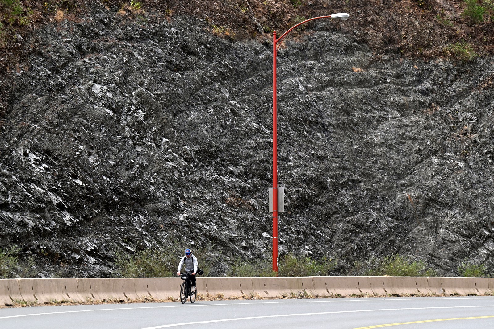
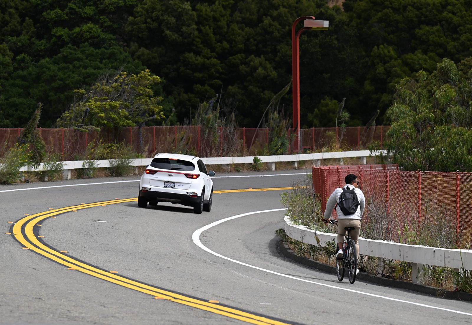
Another section of particular concern to the Marin County Bicycle Coalition and cyclists is Alexander Avenue, which connects cyclists from the Golden Gate Bridge to Sausalito city limits. Wells said it is the most dangerous section of road in the county for cyclists.
“It’s crossed by thousands of people on bicycles a day and yet somehow that short, 1-mile ride to and from the bridge to the Sausalito city limits is incredibly harrowing,” Wells said.
The Golden Gate Bridge, Highway and Transportation District is planning to repave and repaint the road and install new guardrails in 2024-2025. The agency also plans to study whether to add “quick-build” cycling safety improvements such as paint, cones, barriers and signage to the project.
Following the completion of the project, the district is proposing to begin a study of larger changes, including lane widths, speed limits, dedicated bicycle lanes and a retaining wall, according to Denis Mulligan, the district’s general manager.

