Arthur formed Saturday off Florida, making this the sixth consecutive year for a named storm to develop before the official June 1 start of the Atlantic hurricane season.
The U.S. National Hurricane Center in Miami issued a tropical storm warning for North Carolina’s Outer Banks on Sunday. The storm’s center was located about 275 miles south-southwest of Cape Hatteras, North Carolina. Arthur had top sustained winds of 45 mph and was moving at 9 mph.
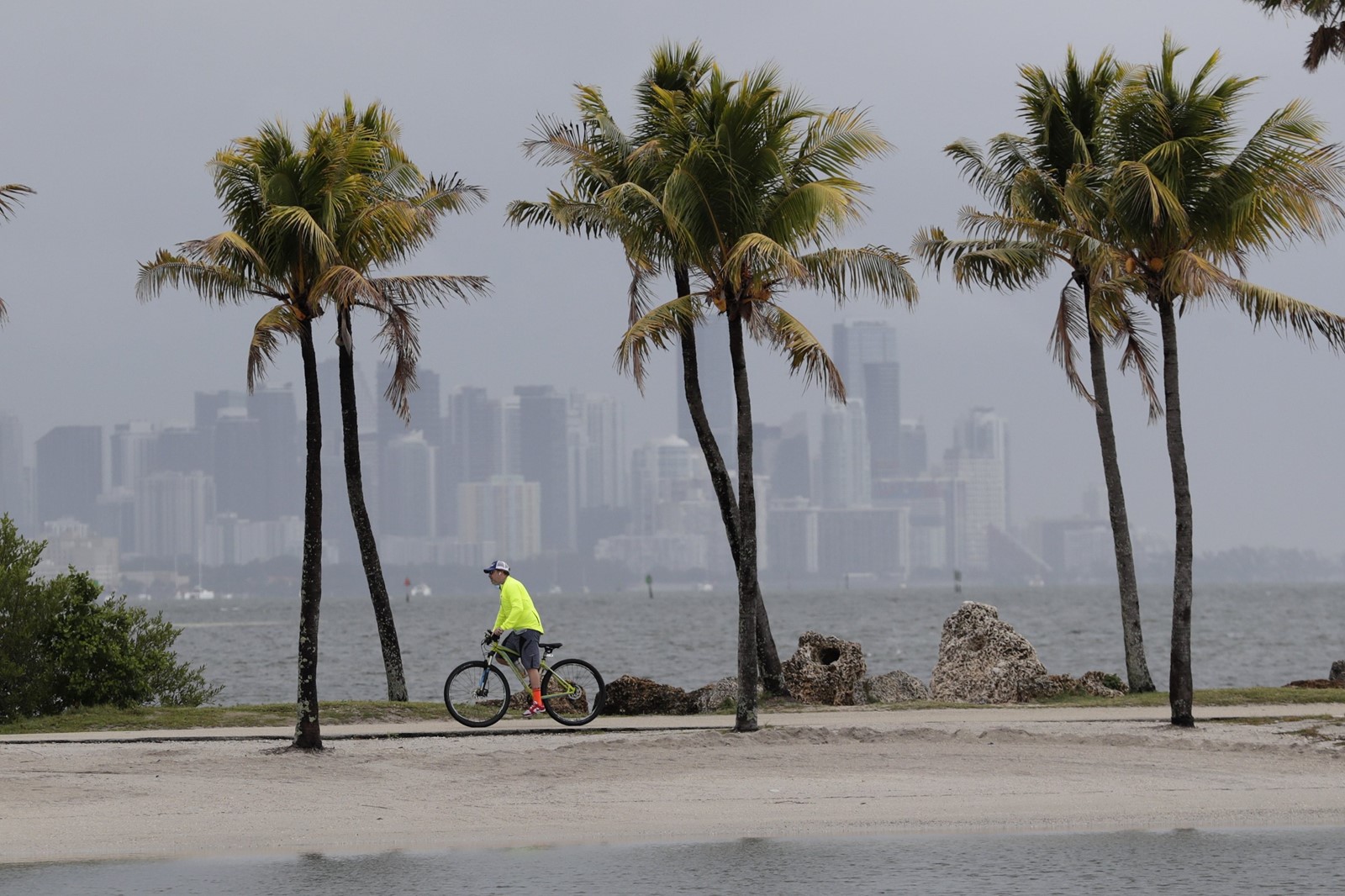
Forecasts say Arthur will stay well offshore of Florida, Georgia and South Carolina and then approach North Carolina, where 1 to 3 inches of rain was expected late Sunday and Monday.
The tropical storm warning was issued for parts of North Carolina’s coast.
Michael Lee, a meteorologist with the National Weather Service in Newport, North Carolina, said tropical storm winds will be possible along the coast, particularly in the Outer Banks.
“Otherwise, it’s going to be some heavy rainfall for a large part of eastern North Carolina,” Lee said. “But the main threat that we’re really trying to get out there is that there is enhanced risk for dangerous rip currents. ... So, any folks who want to try to go to the beach and get in the water, we have a high risk out for most of our beaches.”
The weather service said eastern North Carolina should prepare for some localized flooding and dangerous marine conditions along the coast.
Dangerous coastal surf conditions and rip currents are expected to spread from Florida to the mid-Atlantic states during the next few days.
