EXTREME WEATHER
Worsening storms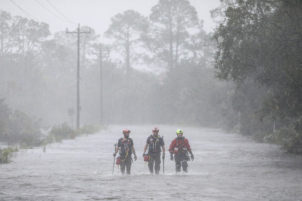
With warmer oceans serving as fuel, Atlantic hurricanes are now more than twice as likely as before to rapidly intensify from wimpy minor hurricanes to powerful and catastrophic, a study said Thursday.
Last month Hurricane Lee went from barely a hurricane at 80 mph to the most powerful Category 5 hurricane with 155 mph winds in 24 hours. In 2017, before it devastated Puerto Rico, Hurricane Maria went from a Category 1 storm with 90 mph to a top-of-the-chart whopper with 160 mph winds in just 15 hours.
The study looked at 830 Atlantic tropical cyclones since 1971. It found that in the last 20 years, 8.1% of the time storms powered from a Category 1 minor storm to a major hurricane in just 24 hours. That happened only 3.2% of the time from 1971 to 1990, according to a study in the journal Scientific Reports. Category 1 hurricanes top out at 95 mph and a hurricane has to have at least 111 mph winds to become major.
Those are the most extreme cases, but the fact that the rate of such turbocharging has more than doubled is disturbing, said study author Andra Garner, a climate scientist at Rowan University in New Jersey.
Unpredictable
When storms rapidly intensify, especially as they near land, it makes it difficult for people in the storm’s path to decide on what they should do — evacuate or hunker down. It also makes it harder for meteorologists to predict how bad it will be and for emergency managers to prepare, Garner and other scientists said.
“We know that our strongest, most damaging storms very often do intensify very quickly at some point in their lifetimes,” Garner said, highlighting 2017’s Maria, which some researchers said killed nearly 3,000 people directly and indirectly. “We’re talking about something that’s hard to predict that certainly can lead to a more destructive storm.”
And this “has become more common in the last 50 years,” Garner said. “This has all happened over a time period when we’ve seen ocean waters get warmer.”
“We’ve had 90% of the excess warming that humans have caused to the planet going into our oceans,” Garner said.
Oceans this year have been setting heat records monthly since April with scientists warning of off-the-charts temperatures.
Garner found the rapid intensification of hurricanes was primarily along the East Coast’s Atlantic seaboard, more so than the Gulf of Mexico.
Intensity
It’s not just the cases of extreme rapid intensification. Garner looked at all storms over different time periods and found that in general they’re intensifying faster than they used to.
There have been more Atlantic storms in the last few decades than in the 1970s and 1980s — scientists have several theories for why, from changes in air pollution to natural cycles — but Garner said by looking at percentages she took out the storm frequency factor.
Previous studies had found an increase in rapid intensification. Garner’s study was statistically meticulous in confirming what scientists had figured, said Karthik Balaguru, a Pacific Northwest National Lab climate scientist who last year had a paper demonstrating how storms near the Atlantic coast are intensifying faster before landfall than they did in the 1970s and 1980s.
The National Hurricane Center considers a storm to rapidly intensify if it increases wind speed by 35 mph in 24 hours.
In 2020, a record year for hurricanes and the last year of Garner’s study, six storms rapidly intensified that much. Hannah, Laura, Sally, Teddy, Gamma and Delta. Since then, there have been several rapid intensifying and deadly storms, including 2021’s Ida, 2022’s Ian and 2023’s Idalia.
“If we don’t work to lower our [carbon] emissions, then that’s a trend that we likely could expect to see continue to happen in the future” and even get worse, Garner said.
IN THE KNOW Norma makes landfall, Tammy grows
Hurricane Norma: The storm made landfall near the resorts of Los Cabos at the southern tip of Mexico’s Baja California Peninsula on Saturday afternoon, then later weakened to a tropical storm over land with 70 mph winds as it crossed the Baja California Peninsula toward the Sea of Cortez, also known as the Gulf of California.
Hurricane Tammy: In the Atlantic, Hurricane Tammy was very near Barbuda and threatened to batter the islands of the Lesser Antilles. Hurricane warnings were issued for the islands of Antigua, Barbuda, Anguilla, St. Martin and St. Barthelmy. Tammy was moving north-northwest at 10 mph.
The Associated Press